Geostacionární:
Polární oběžná dráha:
Himawari

Obsluha: Japonský meteorologický úřad.
Datum vypuštění: 02/2005 (MTSAT-1R), 02/2006 (MTSAT-2)
Typ oběžné dráhy: Geostacionární
Poloha: 145°E
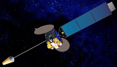
Přístroj: radiometr
Radiometr skenuje zemský povrch v řadách; každá řada se skládá ze série individuálních obrazových prvků neboli pixelů. Radiometr změří pro každý pixel zářivou energii v různých spektrálních pásmech. Naměřené údaje jsou digitálně zakódovány a vyslány do pozemské stanice k předběžnému zpracování předtím, než jsou rozšířeny mezi uživatele.
| kanál | Vlnová délka (µm) |
| VIS | 0.55 - 0.80 |
| IR1 | 10.3 - 11.3 |
| IR2 | 11.5 - 12.5 |
| IR3 | 6.5 - 7.0 |
| IR4 | 3.5 - 4.0 |
Geostacionární:
Polární oběžná dráha: